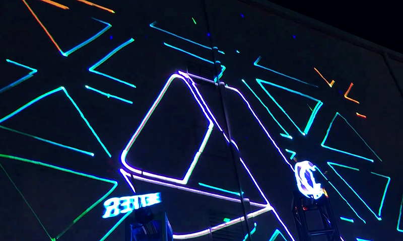
Laser Mapping
TLC LASER MAPPING FX
Laser mapping, also known as laser scanning or LiDAR (Light Detection and Ranging), is a remote sensing technology that uses laser beams to create precise three-dimensional representations of objects, environments, and landscapes. It is widely employed in various fields, including surveying, engineering, architecture, forestry, archaeology, and urban planning.
The process of laser mapping involves emitting laser pulses from a scanner, which is typically mounted on an aircraft, drone, or terrestrial vehicle. These laser pulses travel towards the target area and bounce back when they encounter objects or surfaces. The scanner measures the time taken for the laser pulses to return, along with their intensity, allowing it to calculate the distance and shape of the objects.
By scanning the environment from multiple angles and locations, laser mapping creates a dense point cloud of millions or even billions of individual data points. Each point represents a specific location in three-dimensional space and is accompanied by additional attributes such as intensity or color information.
These point clouds can be further processed and analyzed using specialized software to generate highly accurate and detailed digital models of the scanned area. Laser mapping enables the creation of precise terrain models, building reconstructions, vegetation studies, and much more.
The applications of laser mapping are vast. In engineering and construction, it aids in site planning, monitoring structural deformations, and verifying as-built conditions. In forestry and land management, laser mapping assists in inventorying and monitoring vegetation, assessing biodiversity, and planning sustainable practices. Archaeologists benefit from laser mapping by creating digital records of archaeological sites and aiding in the preservation and analysis of cultural heritage.
Laser mapping offers significant advantages over traditional surveying methods. It provides highly accurate and detailed data, allowing for precise measurements and analysis. It can cover large areas quickly, reducing the time and resources required for data acquisition. Additionally, it minimizes the need for physical access to hazardous or inaccessible areas, enhancing safety during data collection.
In conclusion, laser mapping is a powerful and versatile technology that revolutionizes the way we capture and analyze spatial information. Its ability to create detailed 3D models with exceptional accuracy makes it an invaluable tool in various industries, facilitating better decision-making, planning, and understanding of the physical world.

